
Researchers just proved that all continents of Earth once formed as a single massive landmass. So how did we get here?
When you look at a world map today, you will see 7 continents including Asia, Africa, North America, South America, Antarctica, Europe, and Australia/Oceania separated by different oceans. But do you know that these continents were once joined together as a single massive landmass?
You are about to learn how all continents of Earth were once fused into a single, colossal landmass, and the story of how it broke apart is one of the wildest journeys in planetary history. Let us begin our story by talking about Pangaea, the supercontinent that ruled the planet, and the slow, violent breakup that gave birth to the world we live on today.
What Is Pangaea?
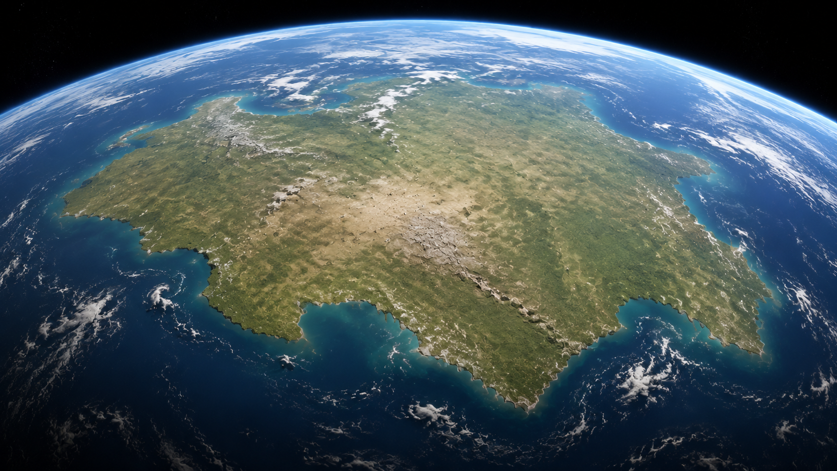
Pangaea was a supercontinent that formed roughly 335 million years ago, when nearly every landmass on the planet came together into a single giant body of rock surrounded by a single global ocean called Panthalassa. Imagine Africa fused to South America, North America locked against Europe, and India tucked beneath Antarctica like a puzzle piece nobody expected. At that time, there was no Atlantic Ocean, nor was there the Indian Ocean. There was just Pangaea, and everything else was water. All the continents of Earth at that time fused into one.
The name Pangaea comes from Greek, meaning “all Earth.” It fits. For tens of millions of years, a single organism could theoretically have walked from what is now New York to what is now Beijing without ever touching a coastline.
So How Did Scientists Found Out That All Continents Of Earth were once a single giant landmass? Let’s talk about The Man Who Saw It First
In 1912, a German meteorologist named Alfred Wegener looked at those matching coastlines and asked a question nobody had taken seriously before. What if the continents actually moved?
Wegener backed his idea with real evidence. Identical fossils of ancient reptiles like Mesosaurus turned up on both the African and South American coasts, animals with no possible way to swim across an ocean. Matching rock layers appeared on continents separated by thousands of miles. Glacial scars sat in regions that are now tropical, proof that those lands once sat near the poles.
The scientific world laughed him off. Wegener could describe the movement but not explain the mechanism, and without a driving force behind continental drift, most geologists dismissed the whole theory as fantasy. He died in 1930 on a research expedition in Greenland, decades before he would be proven right.
How Scientists Finally Proved All Continents of Earth Were Once Fused
Scientists proved that the breakthrough of all continents of Earth came from the ocean floor. In the 1950s and 1960s, researchers mapping the seabed discovered massive underwater mountain ranges, especially the Mid-Atlantic Ridge, where new crust was constantly being born and pushed outward in both directions. This process, called seafloor spreading, gave Wegener’s drifting continents an actual engine.
Paleomagnetism sealed the deal. Rocks record the direction of Earth’s magnetic field at the moment they form, and when scientists studied ancient rock samples across different continents, the magnetic stripes lined up perfectly with a single connected landmass. Add in modern GPS data that tracks continents drifting apart at a few centimeters a year, roughly the speed your fingernails grow, and the case became undeniable. The continents of Earth do move, and they always have.
So What Exactly Caused Continental Drift Among All Continents of Earth
Beneath the crust sits the mantle, a layer of slow-moving, semi-molten rock stretching nearly 1800 miles down. Heat from Earth’s core drives massive convection currents through this mantle, similar to how a pot of thick soup churns when heated from below. These currents drag the tectonic plates above them, splitting continents apart in some places and slamming them together in others.
Earth’s outer shell is broken into roughly fifteen major tectonic plates, and they never stop moving. Some carry continents on their backs. Others carry ocean floor. Where two plates collide, mountains rise, exactly how the Himalayas formed when India rammed into Asia. Where plates pull apart, new ocean basins are born, exactly how the Atlantic Ocean has been widening for the last 180 million years.
The Breakup of a Supercontinent
Pangaea began tearing apart around 175 million years ago. The first major split carved it into two enormous chunks: Laurasia in the north, which eventually became North America, Europe, and most of Asia, and Gondwana in the south, which broke into South America, Africa, Antarctica, India, and Australia.
The cracking continued for tens of millions of years. South America peeled away from Africa, opening the South Atlantic. India broke free from Antarctica and began an extraordinary solo journey north, eventually crashing into Asia and crumpling the crust upward into the tallest mountain range on the planet. Australia drifted off on its own path, carrying a strange collection of animals that evolved in near total isolation, which is why kangaroos and koalas exist nowhere else on Earth.
By around 35 million years ago, the continents had drifted close to the arrangement we recognize today.
Where This Story Is Heading
Continental drift never stopped. It is happening right now, beneath your feet, at a pace too slow to feel but too steady to deny. The Atlantic Ocean widens a little more every year. East Africa is actively splitting apart along the Great Rift Valley, a slow-motion fracture that scientists predict will eventually create a brand new ocean basin, cutting the Horn of Africa loose from the rest of the continent.
Scientists studying long-term plate movement believe the continents of Earth are heading toward another collision. Various models predict a future supercontinent, sometimes called Amasia or Pangaea Proxima, forming somewhere between 200 and 250 million years from now as the Pacific Ocean closes or the Atlantic reverses its spread. Either way, the map you grew up memorizing is a temporary snapshot, not a permanent fact.
Why This Story Matters
The breakup of Pangaea did not just rearrange geography. It rewired the climate, redirected ocean currents, and isolated species long enough for entire branches of evolution to take separate paths. The koala and the capybara exist because a supercontinent broke apart in exactly the way it did. Human civilization itself unfolded across continents shaped by hundreds of millions of years of drift.
Earth looks solid and permanent from where we stand, but it is really a puzzle in extremely slow motion, constantly reassembling itself one centimeter at a time. The continents of Earth were together once. They will likely be together again. We are simply living in the brief, restless gap in between.